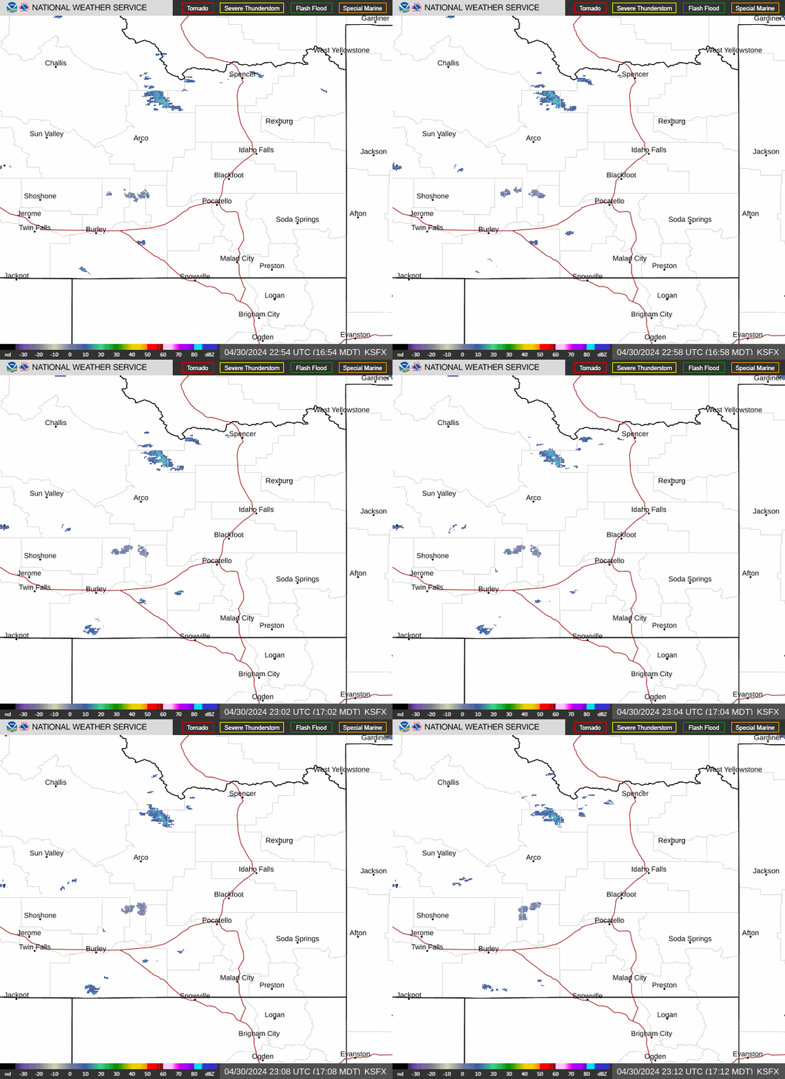
Radar — KSFX
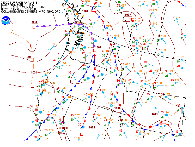
Surface Analysis — Western U.S. (North)
Satellite

Log in to save this location.
Nearest monitored road: US-93 (Primary)
- continued warm and dry through tonight.
- a low pressure system from southwestern oregon will bring showers, scattered thunderstorms, and cooler temperatures thursday through friday.
- gradual warming and drying trend beginning saturday and continuing through at least tuesday.
An upper level low over southwest oregon will circulate warm, dry southerly flow over our cwa this afternoon and tonight. Showers and thunderstorms will develop near the low tonight only as far east as central oregon, while monsoon moisture in arizona surges northward through utah into SE idaho, but stays east of our cwa. By morning the monsoon surge will curve westward across central idaho and into the circulation around the or low. Showers and scattered thunderstorms will develop in those parts of our cwa thursday, leaving malheur and owyhee counties generally dry. Rain amounts greater than 0.25 inch are forecast in the idaho mountains north of the snake basin, and locally up to 0.50 inch right under the strongest thunderstorms, but should stay light elsewhere. The low itself is forecast to move eastward across or thursday, then directly over our cwa friday and friday night, then exit east of our cwa saturday morning. Temperatures will cool only slightly thursday while upper flow is still southerly, but more significantly on friday when the low passes overhead. Showers will continue over our cwa friday, with a 20-35% chance of thunderstorms friday afternoon and evening favoring the idaho side. Friday night will clear in or and partially clear in id, and should be cooler than tonight or thursday night. Patchy valley fog is expected toward sunrise saturday.
The upper low will shift eastward out of our area on saturday, continuing remnant isolated showers/thunderstorms over the easternmost portions of our cwa. Otherwise, high pressure will rebuild over the western US by sunday, bringing a slight warming and drying trend to the region through midweek. Temperatures will reach back to near seasonal normals, with highs in the low 80S for the treasure valley monday through tuesday. Tuesday through wednesday, there is considerable guidance uncertainty over how far a longwave trough steering into western bc extends down into the northwest region. There is slight potential for the central id mountains to see precipitation late tuesday into wednesday, as well as a slight area-wide cooldown. Otherwise, the area will stay mostly dry and warm through midweek.
Issued 1052 AM MDT wed sep 16 2026 VFR with few to scattered high clouds. A 10-20% chance of showers near ktwf/kjer and kbke/kmyl late tonight, increasing over most areas by thursday morning. Brief MVFR conditions possible in showers. Gusty outflow winds up to 30 KT near strong showers. Surface winds: E-NE 5-15 KT with gusts to 20 KT in SE or. Winds aloft at 10kft msl: S-SE 10-20 KT.
Kboi...VFR with few-sct high clouds this afternoon. Surface winds: variable less than 7 KT this morning becoming NW-N 6-11 KT in the afternoon after 21Z.