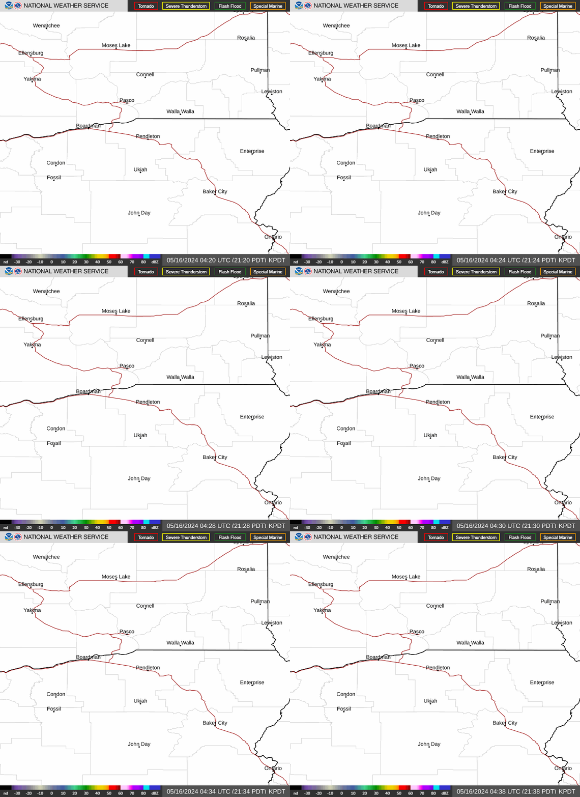
Radar — KPDT
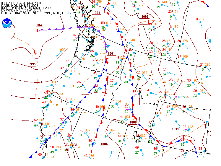
Surface Analysis — Western U.S. (North)
Satellite

Log in to save this location.
Nearest monitored road: West Main Street (Secondary)
- very low (5-15%) chance of thunderstorms today for central oregon, mainly south of the bend metro.
- increasing chances of showers tonight (thursday night) through friday for central/eastern oregon and southeast washington. Highest chances for the blue mountains. - slight chance to chance (10-30%) of thunderstorms over the blue mountains and vicinity thursday. Lower chances (10-20%) for the northeast blue mountains region friday.
- temperatures will slowly warm to above normal by the end of the week, with above-normal temperatures and dry conditions persisting this weekend.
Water vapor imagery shows a closed upper low centered over southwest oregon early this morning. East of the low center, showers are ongoing across south-central oregon where forcing for ascent is co-located with ample moisture, mainly south of the bend metro area. Showers will continue to taper off through morning as the low dives south-southwest, retrograding slightly as it moves over northwest california. Looking ahead to this afternoon, there is a very low to slight chance (5-15%) of afternoon and evening showers and thunderstorms across central oregon, but most activity is expected to remain to our south in klamath and lake counties.
Shower activity is forecast to ramp again later tonight as moisture surges northwest, mid-level lapse rates steepen, and synoptic-scale forcing associated with the low moves overhead. Will note there is a low/slight (5-15%) chance of nocturnal thunderstorms tonight and again thursday night.
Ensemble nwp guidance is in reasonably good agreement regarding the track of the low, but some uncertainty exists in timing/location as it moves across the region through friday. In general, ensemble mean 500-hpa heights and vorticity show the low ejecting northeast across the pacific northwest thursday through friday, though clusters of ensemble solutions continue to show some differences in timing and magnitude of the low during this period. All clusters of ensemble solutions now advertise a scenario that would induce convection thursday, with roughly half showing a solution that is conducive to convection persisting friday for the blue mountains (mainly northeast blue mountains).
Chances of thunderstorms are highest on thursday (10-30%), especially for the northeast blue mountains, with lower chances (5-15%) for the lower elevations of central oregon, the blue mountain foothills, and even as far northwest as the lower columbia basin. Chances of thunderstorms drop to 10-15% for friday, highest over wallowa county, and will be heavily dependent on how quickly the low exits to the east; if the low lingers (solution favored more by the ECMWF ensemble) chances of showers and thunderstorms will continue over the blue mountains on friday, but if the low exits more quickly (favored more by the GEFS and canadian ensemble) we will see more showery weather that tapers off through the day.
All ensemble members indicate the low will exit to the east by saturday, with transient shortwave ridging replacing it over the pacific northwest through the weekend. This would facilitate above-normal temperatures and dry conditions areawide.
VFR conditions are forecasted through the taf period for all sites except bdn where MVFR ceilings persistent until around 21Z. There is low confidence in rdm experiencing sub-VFR ceilings (>30%) within the next hour or so. The rest of the sites will see mostly clear skies throughout the taf period.
Periodic gusts of 15-20 MPH are expected during the afternoon hours and into the early evening hours, especially at rdm and bdn (85% confidence), while sustained winds of 12 KTS or less are forecasted elsewhere. There is a low (5-15%) chance of showers and potential thunderstorms late this afternoon and into the evening at bdn/rdm. Ames/01