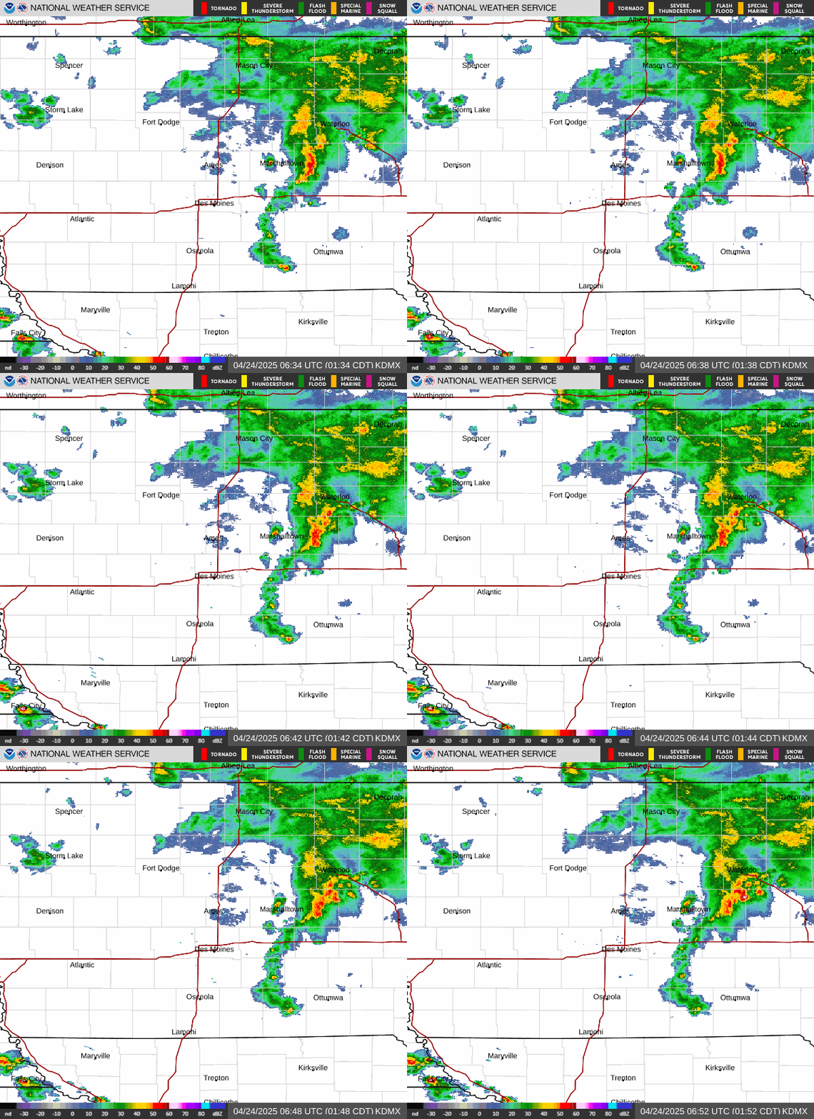
Radar — KDMX
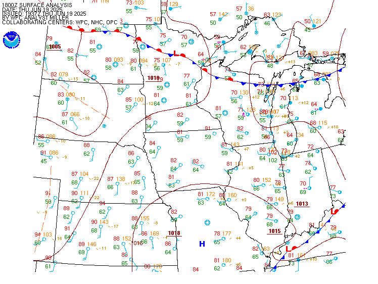
Surface Analysis — Central U.S. (North)
Satellite

Log in to save this location.
Nearest monitored road: Washington Street (Primary)
- rain lifting by the end of the night with dry conditions remaining sunday.
- rain returns sunday night. Marginal risk for severe weather monday afternoon.
- rain remains likely through at least wednesday.
Issued at 248 PM CDT sat oct 31 2026
After a dreary start to the day, rain is starting to lighten up across the state this afternoon. Some sprinkles could be possible through the evening, but the bulk of today's rain has already fallen. Height rises on the exiting half of the shortwave will eliminate most all of the rain on sunday. Some peaks of sun will be possible in the south sunday afternoon and highs will return to the 60S area-wide. Rain returns sunday night as moisture advection increases ahead of a large trough in the western US.
Issued at 248 PM CDT sat oct 31 2026
The trough has closed northern and southern stream components to it, which look to merge together over the region monday night. Ahead of then, the southern feature will mature as it ejects into the plains. The midlevel reflection of the jet will round the trough base and cover the warm sector monday afternoon. 700mb temperatures have trended warmer in southern iowa, so lapse rates are closer to 7 c/km. Mucape values could surpass 500 j/kg in far southern iowa. A line of storms will form along the cold front, but its threats will depend on how much clearing can take place ahead of its arrival. Refs ensemble soundings and hodographs have favorable SHEAR parameters for damaging winds and tornadoes, but are at the mercy of the lower thermal profile. There is not much spread in the pbl temperature values, which struggle to mix in most all ensemble members. Without near-surface instability, the threat will be mainly isolated damaging winds.
Another notable trend is the timing of the front arriving in iowa. This is because the two aforementioned components of the trough will be merging together, causing the resultant closed low to stall. The delayed arrival means severe weather chances are lower, since storms would be arriving after dark. The slowed movement then increases the rainfall amounts, as the front will utilize the 1.5" pwats and drop 1-2" in southern iowa. Something else we'll need to watch is storm potential in eastern iowa on tuesday afternoon due to the front's late exit. That said, the thermal profile looks less impressive on tuesday, by comparison. Cooler temperatures will advect in on the backside. Precipitation chances linger through much of the week due to the trowal of the system.
Issued at 629 PM CDT sat oct 31 2026
Rain has largely come to an end across central iowa; however, there's still a few light sprinkles to light showers that may impact a terminal before tapering off in the next few hours. Otherwise, VFR tafs will give way to periods of IFR to MVFR cigs and vsby overnight which will persist through mid-morning sunday before improving to VFR. Winds will remain light but will begin to increase out of the southeast between 5 and 10 knots after 14Z.