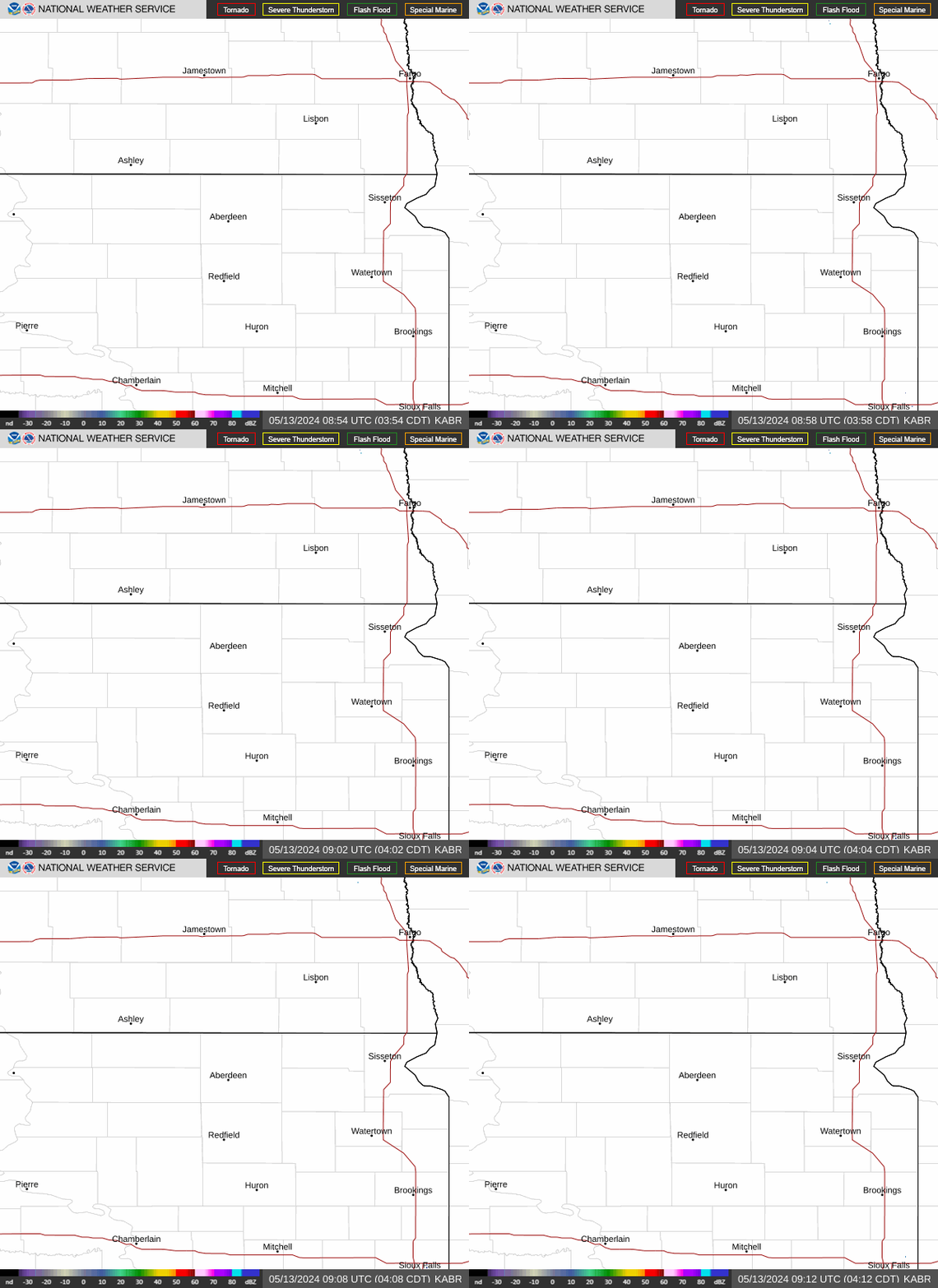
Radar — KABR
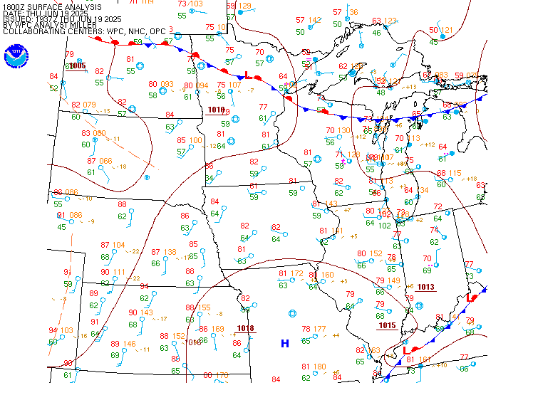
Surface Analysis — Central U.S. (North)
Satellite

Log in to save this location.
-there is a slight risk (level 2 of 4) for excessive and heavy rainfall across portions of central and northeastern sd and west central mn thursday afternoon through friday evening. This heavy rainfall may lead to flooding in some areas.
-heavy rain is expected beginning late thursday afternoon and continuing through friday evening. The highest accumulations are expected over eastern and south central south dakota. The probability to see two inches of rain or more reaches 50-70% over eastern and south central south dakota (decreasing elsewhere as you move north and west).
-near-normal temperatures continue today and tomorrow, as highs will be in the low to mid 70S across much of the forecast area. Friday and through the weekend will have slightly cooler temperatures, with highs generally in the upper 60S to low 70S.
Issued at 219 PM CDT wed sep 16 2026
As of 2PM, there are currently some elevated showers moving over central and northeastern sd. These showers will be moving east and slowly dissipating through the afternoon into the evening. The showers are being driven by a low-level jet moving over the warm and moist air advecting into this area, and mixing in the atmosphere could help to get the stronger southeasterly winds to the surface. There is the potential for wind gusts to be up around 30-40 MPH for a bit this afternoon. As the jet dies off this afternoon, the winds will weaken and showers start to dissipate.
After the showers move out this afternoon, precipitation chances will stay out of central and northeastern sd tonight into thursday morning. During this time, the moisture will continue to advect into the state both aloft and at the surface. This will help to prime the environment for the next system to come in. A surface low will be moving out of the southwest US tonight and into NE/sd thursday into friday, with a frontal boundary moving into the area a bit before the low. Some models show a few scattered showers moving in earlier in the afternoon along this boundary while other models lack some of the instability to develop anything along the boundary. In this case, precipitation moves in along the northern and western side of the low thursday evening. The low then moves northeast through sd thursday night into friday. The most current model ensemble runs have shifted the track of this low system to the north slightly, by a county or two, which has shifted the area with the highest rainfall amounts. This shift in the track will need to be watched in the coming ensemble runs to see if it continues to shift the rainfall amounts to the north, or if they start to move it back to the south.
Model soundings show saturated columns of moisture through the atmosphere with tall, skinny CAPE profile over most of central and northeastern sd. These sounding profiles are a good sign that the environment will be able to support enhanced rainfall rates thursday evening through friday afternoon. Models hint that some heavier bands of rainfall will be possible thursday night into friday morning taking advantage of the environment to dump the bulk of the rainfall. There continues to be variability in the models for rainfall amounts from a few different factors, such as the locations and track of the system, where the bands of the heaviest rainfalls occur, and how long the system sticks around some areas. This leads to a larger spread, over 1 inch between the 25th to 75th percentiles in some areas, in rainfall amounts and lowers confidence. The models have been fairly consistent with the rainfall just barely glancing north central sd, with between 0.25-0.75 inch of rainfall accumulation expected. The models have also been consistent with a bullseye of rainfall amounts occurring over east central sd somewhere, where 1.5+ inches expected. Right now, the ensembles are showing a 90% chance for areas in a line from pierre to redfield and then milbank, and areas in east central, to get an inch or more of rainfall between thursday afternoon through friday evening and 50- 70% chance for 2 inches. With these rainfall amounts and the potential for even more to fall in some areas, there is a slight risk for excessive and heavy rainfall from the system. Since the ground is fairly dry from the lack of precipitation, it should be able to handle a fair bit of water, even after the rain we had the other day. However, if the heaviest rain bands are slow moving or continue to move over the same areas for a while, the heavy rainfall amounts could start to impact low lying and poor drainage areas and potentially even cause a little bit of flooding.
Issued at 1215 PM CDT wed sep 16 2026
Terminals kabr,katy,kpir,kmbg
Some elevated showers continue to develop from a low level jet and move near the kpir terminal for a few more hours from some scattered showers this morning. These showers should move east and dissipate this afternoon. This low level jet is also able to get some stronger winds mixed to the surface during the early afternoon, with gust up around 25-35 MPH at kpir and kmbg. Once this jet dies off during the afternoon, the winds will also dissipate. The weaker winds will start to become more easterly overnight before turning back to the southeast thursday morning. There are currently some lower VFR ceilings over some of the terminals and it will continue for a little bit before clearing and becoming taller VFR ceilings this evening or into the nighttime. The winds will pick up again over kmbg and kpir thursday, with gusts up around 20-25 MPH possible.