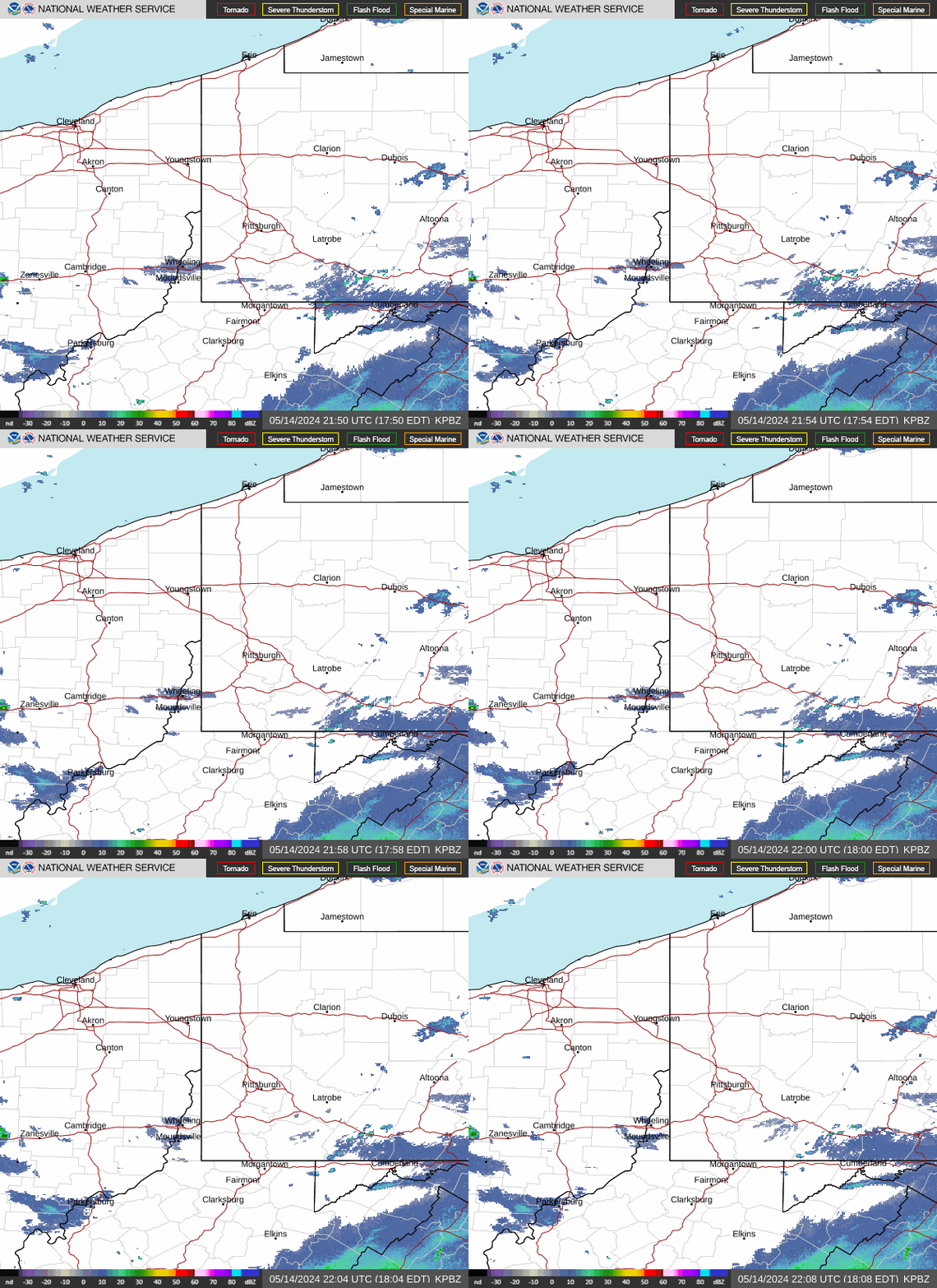
Radar — KPBZ
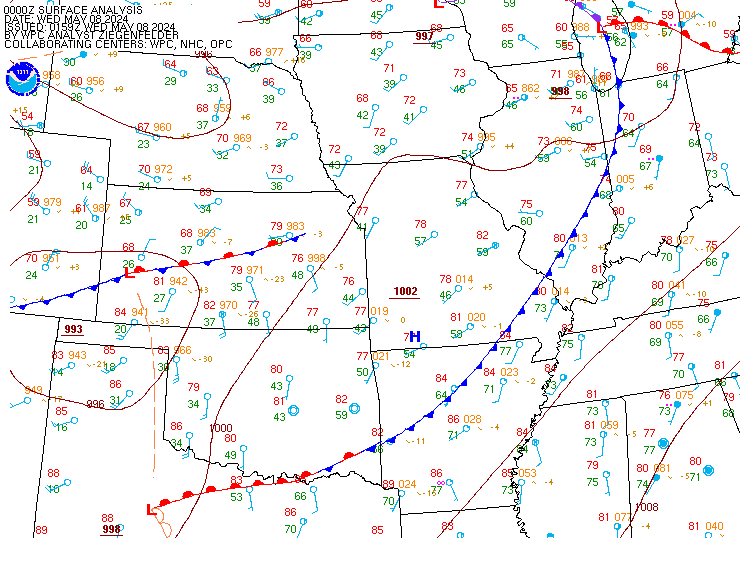
Surface Analysis — Central U.S. (Central)
Satellite

Log in to save this location.
Nearest monitored road: Central Square (Primary)
Have introduced slight chance pops to western portions of the area to account for the potential of very light rain showers through early this evening, but otherwise no changes needed with this update.
1) high pressure will continue to influence the area into the start of next week allowing for quiet weather and gradually warming temperatures.
2) periodic showers are possible early next week before becoming more widespread mid to late week.
Key message 1... Latest radar (as of early this afternoon) places portrays showers across the western half of the area, although dry air near the surface will likely prevent the vast majority of the precipitation from reaching the surface. Nonetheless, some very light rain showers may periodically occur west of i-71 through early this evening so have introduced slight chance pops for the next several hours. Otherwise, halloween will remain dry and mostly cloudy with temperatures generally falling into the 40S and lower 50S tonight. The only exception will be mid to upper 30S across interior eastern crawford/erie counties in pa. High pressure will gradually shift east through the rest of the weekend and early next week, providing dry weather and gradually increasing temperatures through tuesday. Tuesday will likely be the warmest day of the week with high temperatures in the 70S expected.
Key message 2... A pattern shift is expected for mid to late week as the aforementioned high shifts east and a low pressure system approaches from the west. Showers may sneak into northwestern zones as early as late tuesday, but guidance generally favors dry weather until the low's accompanying cold front nears the local area early wednesday. From there, periodic showers are likely as the front crosses the cwa through thursday with additional scattered showers possible as a secondary cold front moves through on friday. As far as temperatures go, temps in the 70S will likely continue into wednesday before dropping back into the 60S for the end of the week.
Mainly overcast skies will continue through the taf cycle, but bases will be VFR, averaging 10 thousand feet. Brief sprinkles could impact kfdy and kmfd this evening associated with a strip of mid-level moisture, but very dry air in the low-levels will keep most areas dry thanks to strong high pressure centered over pennsylvania.
Except for a lingering lake breeze this evening at keri, winds will average E to SE at 4 to 8 knots tonight and sunday.
Outlook...non-VFR possible in rain on tuesday night into wednesday.
Winds will generally be out of the south/southeast at around 10 knots or less through the remainder of the weekend and likely into monday. By tuesday night, the approach of a cold front will allow offshore winds to increase to 10 to 20 knots. Small craft advisories may be needed if winds trend higher, but the southerly flow will focus any higher waves into the open waters. Winds will diminish throughout the day wednesday with onshore flow developing behind the cold front at some point thursday. Will need to keep an eye on the wind and wave forecast for late week; as of now, winds will likely remain between 15 and 20 knots which would result in waves of 2 to 4 feet, but any increase in winds may necessitate small craft advisories.