Radar — KYUX
Surface Analysis — Western U.S. (Central)
Satellite

Log in to save this location.
Nearest monitored road: South 4th Avenue (Primary)
Updated aviation discussion.
- rain and thunderstorm activity will gradually come to an end from west to east by this evening. A flood watch remains in effect for much of central and eastern arizona through early monday morning.
- isolated strong to severe thunderstorms will be possible this afternoon and evening, mostly east of the colorado river, with the main threat being damaging winds.
- conditions will quickly improve by daybreak monday and remain dry through the week, along with daytime temperatures slowly warming closer to, albeit still below, daily normals through middle of the week.
The widespread, long duration rainfall event panned out pretty much as anticipated with around 0.50"-1.50" of rain accumulating across the lower deserts and upwards of 1.00-3.00"+ across the higher terrain areas north and east of phoenix. This has led to a sizable hydrological response as area rivers and washes are flowing with some area rivers now reaching flood stage. Several flood warnings are in effect and will likely be extended through monday as runoff continues to impact low lying areas. Please continue to heed any road closures and avoid driving through low water crossings.
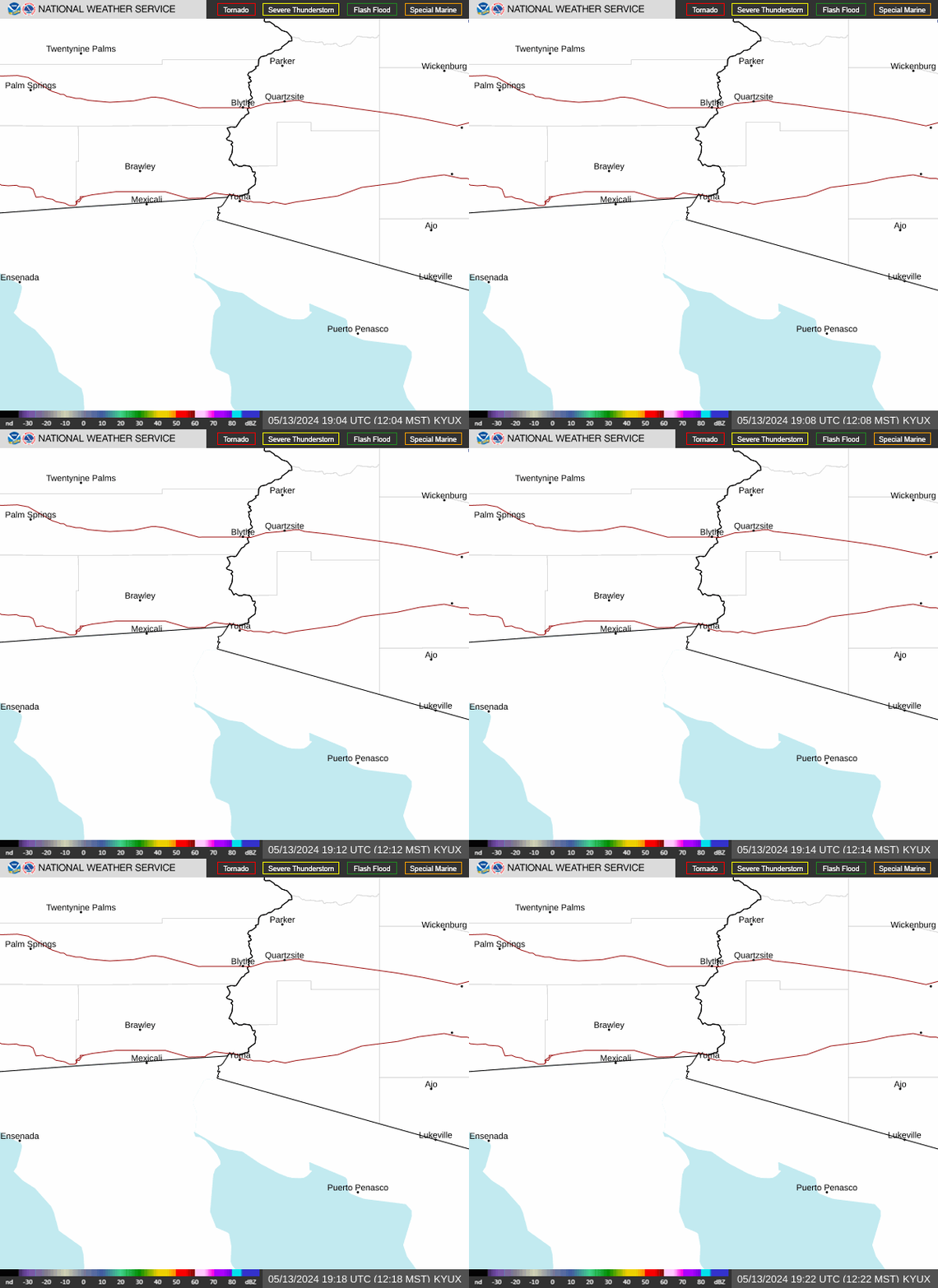
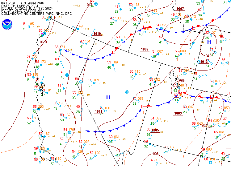
Latest visible satellite imagery and area radars show stratiform rainfall coming to an end across southcentral az with a clearing line of cirrus now progressing through the phoenix metro area. As skies continue to clear, latest mesoanalysis indicates sb CAPE values rising to around 500-1000 j/kg across southwest az and western maricopa county. There is also a sfc frontal boundary which is beginning to enter SE california and will continue to push ewd through this evening resulting in a wind shift from southerly to westerly. Due to clearing over the region, winds are now becoming gusty as strong winds aloft are mixing down to the sfc. Expect gusts around 20-30 MPH to become common over the next several hours with a few gusts exceeding 35 MPH possible. High-res model guidance continues to indicate a final line of showers and even a few thunderstorms developing across southcentral az around 00Z. Any storm that does develop will pose more of a flash flooding risk with higher rain rates anticipated. There will be a jet maximum passing over the area, leading to effective bulk SHEAR up to 50 KTS. There will be fairly strong 925-850mb winds in south-central az, up around 40-50 KTS, and any shower or storm that develops could mix down these stronger winds to the surface. There is also a non-zero chance of a brief tornado in south- central az with sfc-1km srh up to 100- 150 m2/S2. As the line of showers and storms pushes east of the area later this evening, the threat of severe weather and flooding will finally come to an end.
By sunrise monday, the threat of rain will come to an end and winds will die down as the trough axis pushes east of the state and much drier air is ushered in. Pwats are forecast to quickly drop to around 0.4-0.6" by sunrise monday. Patchy fog cannot be ruled out monday morning in sheltered valley locations, but dry air entrainment into the surface layer may preclude any formation. As mentioned already, runoff and elevated flow in many of the major waterways across south-central az is likely to continue through monday. Temperatures the next couple of days will remain cool, with highs around 6-10 degrees below normal, mostly in the upper-60S to middle-70S.
Through the middle of the upcoming work week, following the departure of this dynamic weekend system, we can expect dry conditions, and transient upper level ridging, resulting in temperatures slowly warming closer to seasonal levels (despite daytime highs likely remaining a few degrees below the daily normals). By late week, ensembles diverge with respect to another disturbance possibly moving through the area, but guidance seem to be trending toward a relatively weak transient upper low/positively tilted shortwave that is then followed by more ridging by the end of next weekend. Regardless of the outcome, fairly benign conditions seem to be the most likely outcome. The trajectory of the late week system is not favorable for rain chances, with its residence time too short for better quality moisture to be pulled into the area, and if it remains an open wave, its positive tilt does not bode well for providing upper level support for precipitation. Nbm pops with the latest forecast have fallen to 10% or less friday into saturday.
Updated at 0550Z.
South central arizona including kphx, kiwa, ksdl, and kdvt;
VFR cigs and -shra will shift east of the phoenix airspace and decline in coverage over the next few hours. Few-sct midlevel decks may persist into monday afternoon, but cigs are not expected to return for the remainder of the taf period. Winds will favor a westerly component through at least monday afternoon, however, several hours of light speeds (aob 5 KTS) and variability may prevail monday morning into the early afternoon. A more typical easterly diurnal wind shift is then anticipated monday evening under mostly clear skies.
Southeast california/southwest arizona including kipl and kblh:
No major aviation concerns are expected over the next 24 hours under mostly clear skies. Winds will favor W for at least the next few hours, then shift NW/N monday morning. Speeds are expected to remain aob 10 KTS for the most part, however, some gusts into the mid teens cannot be ruled out at kblh monday afternoon. Extended periods of light (aob 6 KTS) and vrb winds are possible.
Widespread wetting rainfall is expected across the area today with the highest rainfall totals expected in the high terrain north and east of phoenix. Rainfall will become more isolated this afternoon and evening, with potential for isolated thunderstorms as well. Gusty SW winds are also expected this afternoon and evening, with peak gusts up to 30-40 MPH possible in the lower deserts of south-central az to 40-50 MPH at the highest elevations east of phoenix. Any thunderstorm may also produce locally strong to severe wind gusts. Minimum humidities will range between 55-80% areawide today and overnight maximum humidities up to 80-100%. Notably drier conditions are expected monday through the rest of the week, but minimum humidities will still remain around 30-45% each day as temperatures will be near to slightly below normal. Winds for much of the rest of this week will return to a more typical diurnal pattern with light speeds and modest afternoon upslope gustiness.